First journey ng taong 2014, Mt. Sembrano.
Mt. Sembrano is located at Brgy. Malaya, Pililia, Rizal.
I will never forget my experience in Mt. Sembrano. We almost lose in the forest along with my friend. We didn't get a guide in order to go to the mountain since the brgy. personnel told us that the trail is easy and must turn left at Licudan st and just walk straight then right at the Manggahan area. Both of us didn't know the area since we are new in the area. My friend is a first timer hiker and he just want to experience new things.
 |
| Nipa hut along the trail |
 |
Group of mountaineers from Pililia Rizal
|
 |
| Manggahan (private property) |
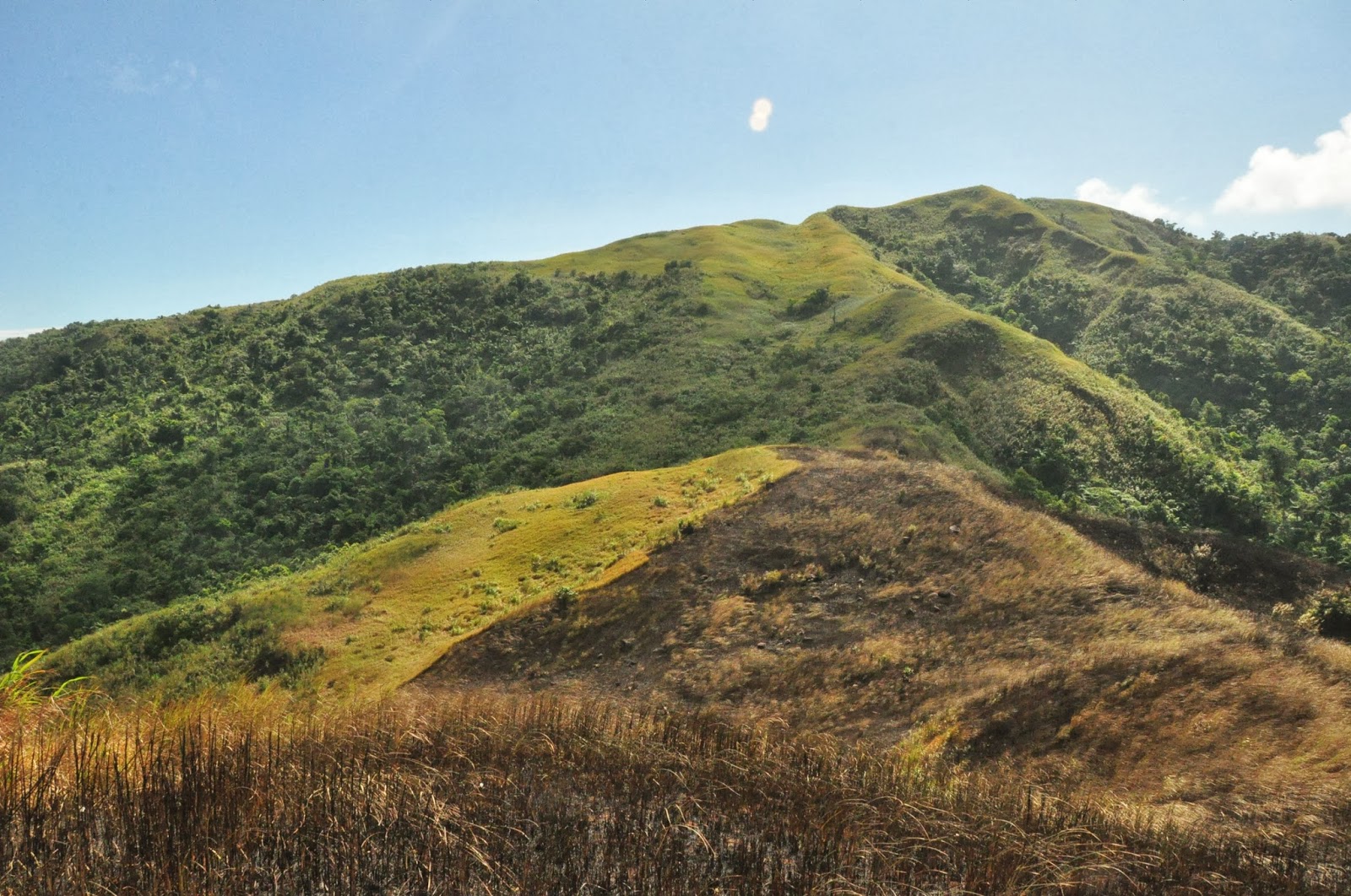
Mt. Sembrano's grassland
We walk for around 4 hours in order to reach the summit of Mt. Sembrano and took some memorabilia (pictures) at the top. You can see the Laguna de Bay at the top, other part of Laguna like Sta. Cruz. You can also see Talim Island and mountain Mt. Makiling located at Los Banos, Laguna.

View at Mt Sembrano's grassland

 Views from the Mt Sembrano's Summit; right side: Sta. Cruz, Laguna
View from Mt. Sembrano's Summit; Pointing at Mt. Makiling
 | |
| Group of mountaineer resting at manggahan area |
 |
| Mountaineer preparing lunch near the falls |
We continue our journey at Mt Sembrano, we go to the manggahan river that is a minute away from the manggahan area and saw another set of mountaineer preparing their lunch. We just refresh for some time and took some picture and decided to go down the mountain.
We walk and walk until we reach the town, tiring but priceless. We go to the barangay hall to tidy up before leaving the barangay. We eat our lunch at Jollibee Tanay.
 |
| Mt. Sembrano Route and Elevation |
ITINERARY
0530 Assembly at Valley Golf, Cainta, Rizal. Take jeep to Tanay, Rizal
0630 ETA Tanay Rizal; take jeep to Pililla (there’s a queue of jeeps in the terminal)
0730 ETA Brgy. Malaya, Pililla (jump-off). Register.
0745 Start trek
0930 ETA Manggahan
1045 ETA North Peak
1130 ETA South Peak (summit)
1150 Start descent.
1315 ETA Manggahan Falls.
1445 Back at jump-off, tidy up then take jeep back Tanay
1630 ETA Manila
No comments:
Post a Comment