Showing posts with label #jazzhike. Show all posts

Sunday, March 9, 2014

Mt Arayat Traverse (Dayhike)

March 8, 2014
Mt. Arayat Traverse (Dayhike)

 It was a Saturday morning when we schedule our hike to Mt Arayat. My last hike in Arayat was last November 2013 with Travel Tipid hosted by Ace Modar for 2 days but this time we will take the trail for a dayhike. 

Facts: Mt. Arayat has a altitude of 1,026 masl.

 Our team: Jazz, Jullius, Bree, Jassem, Darwin and Jorel

 It started in Baliwag terminal where our call time is 0400H. We took a bus going to Bataan and left when we arrive at SM San Fernando Terminal and arrive at San Fernando around 0600H. We have to wait for Bree and Jassem since they will coming from Pasay terminal. Since we will conduct a dayhike, we have to pack light in order for us to move faster.
SM City San Fernando
We took a short breakfast at the Ministop near Robinson and leave for Magalang around 0800H. We arrive at Magalang around 0840H using a jeepney, from Magalang municipal hall, we took a trike to the jump-off and arrived at the jump-off around 0900H. We start our trek around 0910H.
Team Arayat (left to right): Darwin, Jojo, Jassem, Jazz, Bree, Jullio
 Arayat trail in Magalang, Pampanga has 2 option, the new trail and the old trail. the old trail will pass some rock formation and will enter the forest while the new trail you have just to follow the electrical post (there is a camp at the north peak of Arayat where army or soldier stay). Also, in Magalang trail, you will pass by some station of the cross, they call the area the Holy Mountain (Another Holy mountain, maybe holy mountain of the north while Banahaw is the Holy mountain of the south).
Station of the cross in Magalang, Pampanga
After the 5th Station of the cross, you will be passing the registration area, there is no fee in passing, just register at the house before crossing the gate.
After a quick rest and registration, we continue our trek to the north peak. Just follow the station of the cross until you reach this station. there is a trail on the left and trail on the right, the right trail is the right side and just follow the electrical post (the left trail will lead you to the next station of the cross).
Turn right when you see this station


Around 1000H we reach the area where the new trail and old trail separates. The sign that you will choose the old trail or the new trail is the nipa hut. There is a trail at the left of the hut that will take you to the old trail while if you will choose the new trail, you will see the electrical post and just fellow them. We chose the old trail as our trail towards the north peak.
Nipa Hut, sign if you will take the old or new trail
The old trail is nice compared to the new trail, since the old trail has a lots of  trees and we do not almost feel the heat of the sun, compared to the new trail that is open and some grasses are your only option to hide under the sun.
You will encounter some bouldering along the old trail. Big rocks where you can take a picture of the rock formation, large trees along the trail.
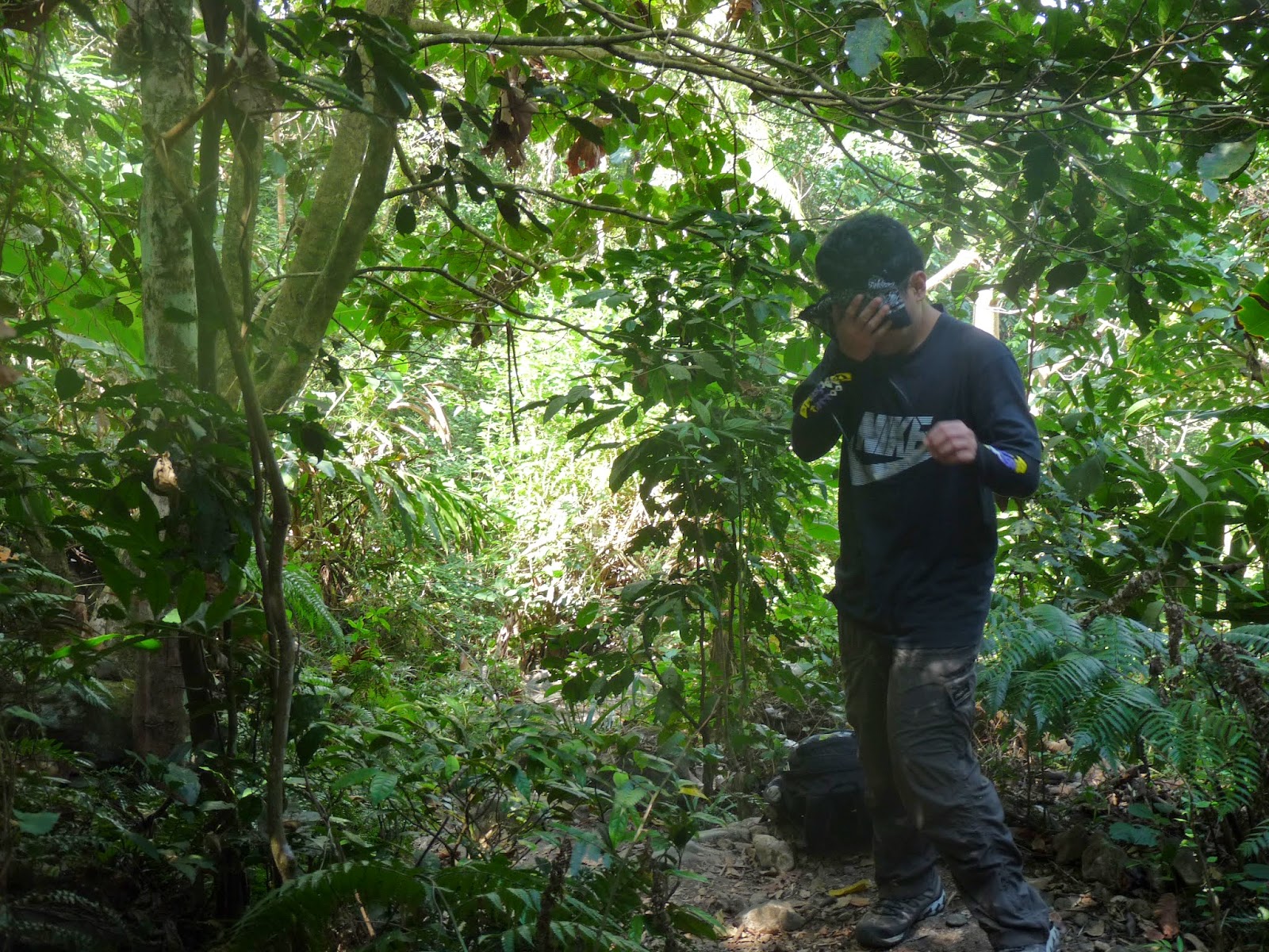

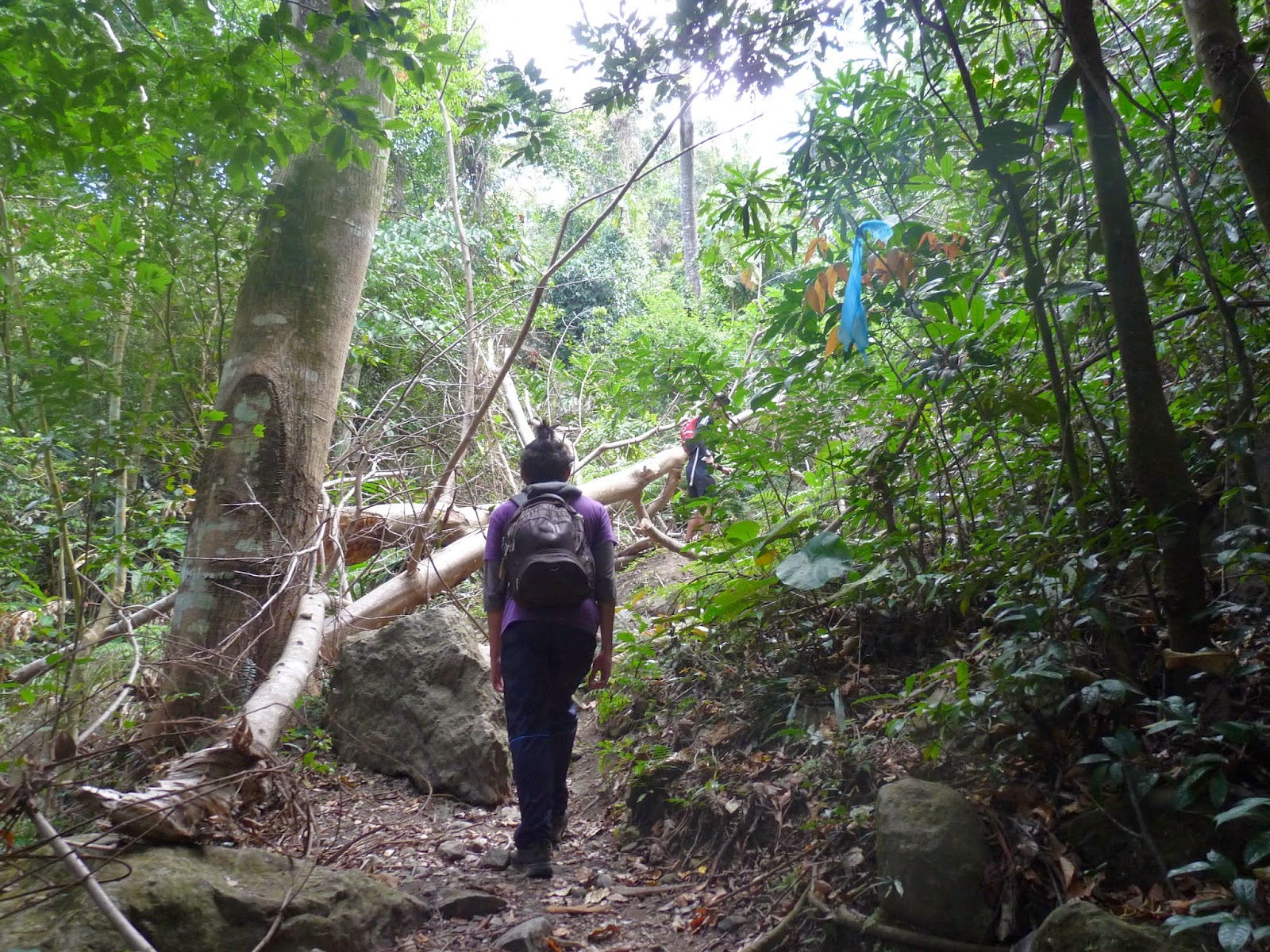
 

After hours of walking we reach the north peak around 1150H. You will notice that there is a camp in the north peak where army are staying, also find the Philippine flag at the north peak. We took a quick snack at the north peak and leave around 1210H.

North peak
We continue our trek towards the south peak, we will be passing the ridge of Arayat and will pass what they call the white rock where there is a 90 degree downhill. We arrive at the white rock around 1250H, but before we go down, we take the advantage to took some photos in the area. 

 
Going down from white rock
  After some picture taking at the white rock, we continue our trek to the south peak where there is a overlooking of the Pampanga River. After some hour of uphill to the south peak, we arrive around 1350H at the south peak and we immediately go to the overlooking (of course to take some photos).
  We leave around 1430H. Along the way we encounter some group of women going to the peak. We continue our traverse to Arayat, Pampanga and since it is downhill and we have a light pack we are quite fast going downhill, I thought we will be descending around 3hours but luckily we arrive at the end of the trail around 1630H. When we arrive at the end of the trail we are also lucky that we can enjoy a swimming at the Arayat National Park Swimming Pool. We take the advantage to go to swim until 1800H. After refreshing swimming at the park, we tidy up and eat at SM Pampanga before going home.


Itinerary:
0400 Meet up at Baliwag Transit in Cubao
0500 Leave for SM Pampanga
0600 ETA SM Pampanga
0730 ETD SM Pampanga to Magalang, Pampanga
0800 ETA Magalang, trike to jump off
0900 ETA jump-off (Station of the cross)/ register after Station 5
1000 ETA nipa hut, take the old trail
1150 ETA North peak, short break, resume trek
1250 ETA White Rock
1350 ETA South Peak, overlooking, lunch
1430 ETD South Peak to Arayat, Pampanga
1630 ETA Arayat National Park, swim, tidy up
1830 ETD Arayat NAtional Park to SM Pampanga
2000 ETA SM Pampanga/ dinner

Monday, February 17, 2014

Mt. Banahaw via Lilag Trail

February 15-16, 2014
Mt. Banahaw via Lilag Trail


Another Adventure of Jazz with TAPIK Mountaineers. This time, we will be conquering Mt. Banahaw which they also called the Holy Mountain. Located at the Boundaries of Laguna and Quezon. Mt. Banahaw has an altitude of 2158 MASL, the highest peak in the Quezon and Laguna Region.
Our Team: Carl, Dex, Argie, Arjay, Noriel, Lj, Dan, Mark, Don, Jett, Ed, Denver, Jay, Adrian, Millet, Jazz
Our Guide: Beans Voughn

We have 2 different set of team going to San Pablo, Laguna. Our call time is 12mn to 2 different meet up points. One group meet up at Kamuning JAC liner and the other group at Buendia Station. We arrive at the Jollibee, San Pablo around 0400H. We eat our breakfast before leaving to Liliw and arrive around 0730H, register and prepare ourselves for another adventure. Around 0750H we start our trekking towards the Holy Mountain, Banahaw. The first part of the trail will passed some mossy forest and some farm lands. Please be reminded that Banahaw has some leeches, so bring some repellant, salt or alcohol to prevent loosing or donating blood to the leeches. In the farmland, you will see the mountain like Cristobal and Kalisungan which is located in Dolores and Calauan, respectively.
Cristobal at the back
After passing the farmland, this is the start of the mossy forest and one of a kind uphill toward the campsite. Around 0950H, when we reach the mossy forest and continue our walk to the deadly uphill of Banahaw. Before lunch time, we experience hunger and decided to take an early lunch around 1050H in a emergency lunch break area.  
Lunch break, emergency lunch
 After a quick lunch and rest, we continue our hike around 1140H and reach the 1st camp site around 1240H. 
Cross at the campsite

Around 1250H we continue our trek toward the camp 2 where we will be resting and staying overnight. The trail is the same from the start to the end, mossy forest, continuous uphill and lots of resting. Somehow the trail is not that establish compared to other entries to Banahaw, maybe since it was not that popular compared to the other trail going to Banahaw.

After almost 9hours of trekking, we arrive at the 2nd campsite around 1620H. Because of the tiring uphill of Banahaw, almost all of us are tired and want to take a nap and rest but we need to eat our dinner, therefore we have no choice but to cook. We cook our dinner around 1530H and finish preparing until 1630H. Food is serve around 1630H, lets eat guys!

 After dinner, its time for socials, since we have new friends along the trek, we have some time to know them and to them to know us (Anu daw??). Since I am not a drinker, I left the socialites around 2100H and take some rest. We have to wake up early in order for us to explore Dungaw 3-2-1. Our call time is 6am, must wake up early and prepare my things.
 

Sadly, because of the cold weather of Banahaw and the foggy environment we woke up late in the morning. We wake up around 0700H and we have to take some breakfast before heading to Dungaw, we head for dungaw 3 around 0830H and since its already late we have no time to explore Dungaw 2-1 and only dungaw 3 is what we can explore. Dungaw 3 is around 1 hour from the campsite. We have to pass by some up and down mossy forest before we reach the Dungaw 3.


In dungaw 3, all we can see is the foggy cloud enviroment, we have no choice but to enjoy the area and took some remembrance photo. We leave the dungaw 3 around 1000H and return to the campsite to breakcamp and prepare to descend the mountain. We took a group picture before we head down to the jump off.

 We leave the campsite around 1130H, since it is a downhill we will be a bit faster than uphill and reach the 1st campsite around 1330H and took some quick lunch with the food that we have, noodles and jellies. After eating we continue our trek and reach the farmland around 1540H, we also see some rainbows at the farmland since it is quite raining.
 
 
From the farmland, we have to trek another 1 hour to the jump off, we thought we will be having only downhills but there is a part where we have to trek around 100m of uphill before a smooth downhill towards the jump off. As what i've told eariler, leeches are within the area, some of my friends donated blood while trekking towards the jump-off. We reach the jump off around 1700H. When we reach the jump-off we have to find a place where we can take a bath to wash up and tidy up.
Around 2000H we arrive at San Pablo City, Laguna to take out dinner at one of the Bulalohan in the area. Happy dinner everyone! Another adventure of Jazz is done! Til the next climb guys! Thank you and rest well!

Itinerary:

Day 1:
0000H ETD bus from Kamuning to San Pablo
0400H ETA San Pablo (Jollibee, near hospital)
0530H ETD from Jollibee to Liliw, Laguna
0730H ETA Liliw, Laguna, register/ jump-off
0750H Start Trek
1050H Lunch
1240H ETA Camp 1
1620H ETA Camp 2
1830H Dinner/ Socials
2100H Lights out

Day 2
0700H Wake up/ Breakfast
0830H Leave and Explore Dungaw 3
0930H ETA Dungaw 3
1000H Leave Dungaw 3 and return to campsite
1100H Return to campsite/ backcamp
1130H ETD Campsite
1330H ETA camp 1
1540H ETA farmland
1700H ETA jump-off
1800H Wash-up/ tidy-up
2000H Reach San Pablo/ dinner
2130H Leave San Pablo take bus to Manila

Monday, February 3, 2014

Makiling Traverse (via Sipit Trail)

February 2, 2014

Another Adventure lives on with Jazz. This time we will be having a Traverse hike of Makiling from Sto Tomas, Batangas to Los Banos, Laguna. In this adventure I will be with Bree, Jassem and some TAPIK Mountaineers (Mark, Dan, Noriel, LJ).

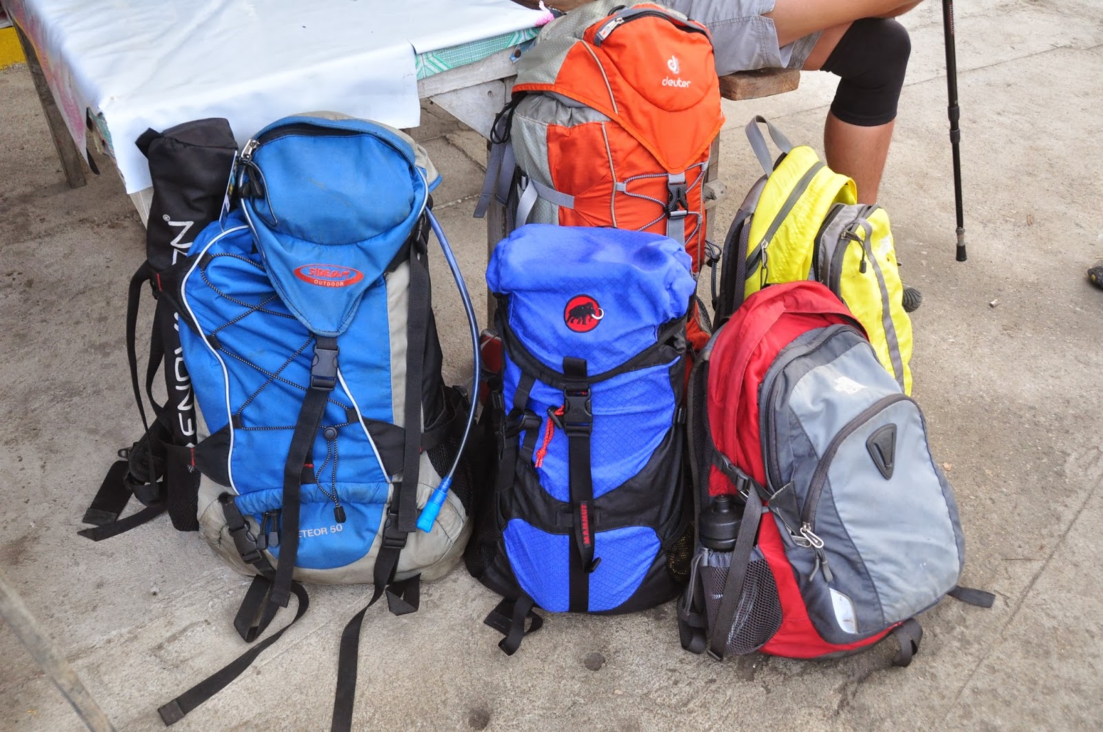
Bag of mountaineers
Sunday morning, our call time is around 4am in Kamias, Quezon city going to Sto Tomas, we will be riding a bus bound to Lucena. We arrived at the Sto Tomas around 6:30am (near Sea Oil and 7 /11). We took our breakfast and buy our packed lunch at one of the eatery in the area. Our bags are packed and ready to go and we are just waiting for Bree and Jassem which will be coming from Alabang. We wait for almost an hour and they decided to catch us along the trail and we decided to go on first. We ride a tricycle going to the Ecopark, along the road you will see large pipelines in the area, this pipelines contain steam with can be used as another source of energy in the area (Geothermal Power Plant).

Pipeline seen in the area
We arrive at the registration area around 7:40am and start to register and prepare ourselves for another adventure. We start our hike around 8am. We will be using the Sipit trail since the Palanggana trail is not accessible now. Kuya Eddie will be our guide in this hike. At first, we are only 5 walking but there are other 4 mountaineer that conduct an early hike almost 1 hour before we arrived at the registration site. After some time kuya Eddie got a text message that our 2 members arrived and he must fetch them since there are no other guide but kuya Eddie. He told us to wait at the station 2. He also told us that we will be passing an ilat "a river without water" and turn left on that area.
Station 2: bahay Kubo
We wait for Bree and Jassem in the station 2 that kuya Eddie told us. When they arrive at the station, we continue our journey to Makiling, Make It Makiling 2014. Sipit trail has 17 Stations, station 2 to 11 will be a steep ascend, and a minimal ascend from station 11-15. We arrive at the station 15 around 11am and took our lunch. In this station we saw our little blood sucking friends.
A view of MakTrav

The little tiny blood sucking limatik friends

 After our lunch at station 15, another steep ascend with matching rope segment awaits us until the peak 3 of Makiling. The Melkas ridge was really a fun trail because of the rope segments that we encounter. We reach the Haring Bato around 11:40 and reach Makiling peak 3 around 12:30pm.
Reach Haring Bato
Rope segment going to peak 3
Mt. Makiling Peak 3
Wacky pose at Peak 3
After peak 3, we start walking at the ridge of Makiling gong to peak 2 "The Wild Boar Trail". This trail was the muddiest of all trail in MakTrav, we experience great mud moments, our shoes , shorts, pants get muddy because of the trail.
Wild Boar Trail
 Around 2:15 when we arrive at peak 2. Still peak 2 was no view but only trees and plants can be seen from the area.

Makiling Peak 2
After a short break at picture taking at peak 2, we decided to descend Makiling using the Los Banos trail. In our descend from Makiling we encounter a group of mountaineer going to peak 2 (I think they are 1st timer hikers due to their attire) also we saw a group of soldiers going to makiling also (maybe they will conduct a camping at the peak). We arrive at the Agila Base around 4:30pm. In this area, kuya Eddie will be separated from us and he will return to Sto Tomas using the other trail. There is a trail going to Sto Tomas at the Aguila Base.

Makiling trail using the Los Banos
Agila base
 Around 5pm, we arrive at nanay sari sari store and do a short break, drink some softdrinks and eat some crackers.

Nanay sari sari store
 Around 6pm, we arrive at the registration area of Los Banos. A total of 10 hours of trekking in Makiling Traverse.
 
Los Banos Registration site- College of Forestry
Our shoes have the same colors

MakTrav team

ITINERARY
Via Sipit Trail

0430 Take Lucena or any Maharlika-bound bus
0630 Drop off at Brgy. San Felix; Head to Ecopark by trike
0750 Registration at Sitio Jordan; secure guides (optional)
0800 Start trek
0930 Trail Junction (Station 7)
1100 Station 15, lunch
1140 ETA Melkas Ridge (Haring Bato)
1230 Peak 3 (1020 MASL)
1250 Continue trek in Wild Boar Trail
1415 ETA Peak 2 (1090 MASL)
1440 Start descent
1630 ETA Agila Base
1800 ETA College of Forestry; Registration site; wash up
1900
Take jeep to Los Banos proper
1940 Dinner at Mang Inasal
2030 Take bus back to Manila
2300 ETA Manila