Showing posts with label WASAKMountaineers. Show all posts

Sunday, March 9, 2014

Mt Arayat Traverse (Dayhike)

March 8, 2014
Mt. Arayat Traverse (Dayhike)

 It was a Saturday morning when we schedule our hike to Mt Arayat. My last hike in Arayat was last November 2013 with Travel Tipid hosted by Ace Modar for 2 days but this time we will take the trail for a dayhike. 

Facts: Mt. Arayat has a altitude of 1,026 masl.

 Our team: Jazz, Jullius, Bree, Jassem, Darwin and Jorel

 It started in Baliwag terminal where our call time is 0400H. We took a bus going to Bataan and left when we arrive at SM San Fernando Terminal and arrive at San Fernando around 0600H. We have to wait for Bree and Jassem since they will coming from Pasay terminal. Since we will conduct a dayhike, we have to pack light in order for us to move faster.
SM City San Fernando
We took a short breakfast at the Ministop near Robinson and leave for Magalang around 0800H. We arrive at Magalang around 0840H using a jeepney, from Magalang municipal hall, we took a trike to the jump-off and arrived at the jump-off around 0900H. We start our trek around 0910H.
Team Arayat (left to right): Darwin, Jojo, Jassem, Jazz, Bree, Jullio
 Arayat trail in Magalang, Pampanga has 2 option, the new trail and the old trail. the old trail will pass some rock formation and will enter the forest while the new trail you have just to follow the electrical post (there is a camp at the north peak of Arayat where army or soldier stay). Also, in Magalang trail, you will pass by some station of the cross, they call the area the Holy Mountain (Another Holy mountain, maybe holy mountain of the north while Banahaw is the Holy mountain of the south).
Station of the cross in Magalang, Pampanga
After the 5th Station of the cross, you will be passing the registration area, there is no fee in passing, just register at the house before crossing the gate.
After a quick rest and registration, we continue our trek to the north peak. Just follow the station of the cross until you reach this station. there is a trail on the left and trail on the right, the right trail is the right side and just follow the electrical post (the left trail will lead you to the next station of the cross).
Turn right when you see this station


Around 1000H we reach the area where the new trail and old trail separates. The sign that you will choose the old trail or the new trail is the nipa hut. There is a trail at the left of the hut that will take you to the old trail while if you will choose the new trail, you will see the electrical post and just fellow them. We chose the old trail as our trail towards the north peak.
Nipa Hut, sign if you will take the old or new trail
The old trail is nice compared to the new trail, since the old trail has a lots of  trees and we do not almost feel the heat of the sun, compared to the new trail that is open and some grasses are your only option to hide under the sun.
You will encounter some bouldering along the old trail. Big rocks where you can take a picture of the rock formation, large trees along the trail.
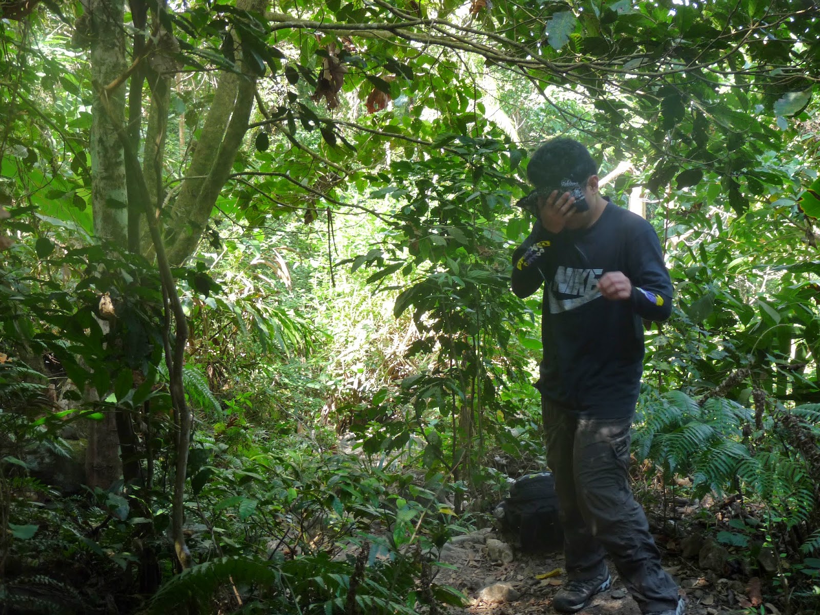

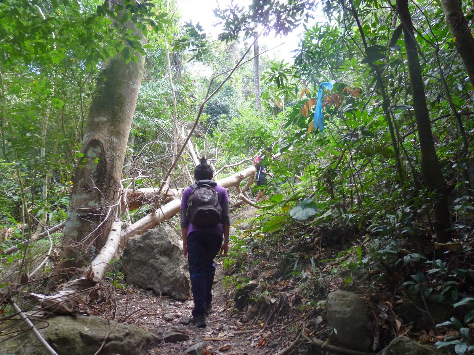
 

After hours of walking we reach the north peak around 1150H. You will notice that there is a camp in the north peak where army are staying, also find the Philippine flag at the north peak. We took a quick snack at the north peak and leave around 1210H.

North peak
We continue our trek towards the south peak, we will be passing the ridge of Arayat and will pass what they call the white rock where there is a 90 degree downhill. We arrive at the white rock around 1250H, but before we go down, we take the advantage to took some photos in the area. 

 
Going down from white rock
  After some picture taking at the white rock, we continue our trek to the south peak where there is a overlooking of the Pampanga River. After some hour of uphill to the south peak, we arrive around 1350H at the south peak and we immediately go to the overlooking (of course to take some photos).
  We leave around 1430H. Along the way we encounter some group of women going to the peak. We continue our traverse to Arayat, Pampanga and since it is downhill and we have a light pack we are quite fast going downhill, I thought we will be descending around 3hours but luckily we arrive at the end of the trail around 1630H. When we arrive at the end of the trail we are also lucky that we can enjoy a swimming at the Arayat National Park Swimming Pool. We take the advantage to go to swim until 1800H. After refreshing swimming at the park, we tidy up and eat at SM Pampanga before going home.


Itinerary:
0400 Meet up at Baliwag Transit in Cubao
0500 Leave for SM Pampanga
0600 ETA SM Pampanga
0730 ETD SM Pampanga to Magalang, Pampanga
0800 ETA Magalang, trike to jump off
0900 ETA jump-off (Station of the cross)/ register after Station 5
1000 ETA nipa hut, take the old trail
1150 ETA North peak, short break, resume trek
1250 ETA White Rock
1350 ETA South Peak, overlooking, lunch
1430 ETD South Peak to Arayat, Pampanga
1630 ETA Arayat National Park, swim, tidy up
1830 ETD Arayat NAtional Park to SM Pampanga
2000 ETA SM Pampanga/ dinner

Saturday, December 28, 2013

Mt. Ugo Traverse

December 27-28, 2013
My year end climb with the gang (WASAK Mountaineers)
Mt. Ugo Traverse start at Kayapa, Nueva Viscaya to Itogon, Benguet

CCQ Bus Stop at Aritao, Nueva Viscaya
It was a nice a weather in Manila when we leave for our adventure for Mt. Ugo Traverse. Our bus reservation is 10pm but due to the traffic our actual departure became 1am. It took around 7 hours when we arrive at CCQ Bus Stop and Restaurant. Our jeep that will move us to Kayapa is waiting already at the meet up area. We took our breakfast and buy our packed lunch there. After our breakfast, we travel another hours to the jump off point for Mt. Ugo Traverse, Kayapa, Nueva Viscaya. 

Kayapa Public Market
When we arrived at the Public Market, all the locals are busy. Since it is the center of the Barangay, lots of people are in the area buying goods, stuff and foods. Here we secure our guide, register and buys some food like vegetables (we want fresh veggies for our dinner) and some stuffs. After securing guide we start our trek to Mt. Ugo, as always we do some stretching and pray before our quest.


Leader is conducting a meeting with the group
Foggy trail at Nueva, Viscaya to Mt. Ugo
Lunch at Indupit Village
The quest starts around 10:30am after the stretching. Nueva, Viscaya is a foggy area. When we arrive at Nueva Viscaya, cloudy sky is present in the province. We think that it will rain so we prepare our poncho or rain coat in case it will rain during our quest. The weather condition throughout the Nueva Viscaya trail was foggy. All you can see throughout the trail is the clouds, the fog. The surrounding is wet due to the moist that the fog/ cloud have. Plants are healthy and greener. Also trail we visible since locals that lives in the mountain use the trail to buy good/food. They are carrying sacks of loaded goods or used sa backpack to transfer the goods to the village in the mountain. We do some rest at the small resting area and do some mini break. After several hours of walking we arrive at a small village (Indupit Village)  where we took our lunch. We heat our packed lunch since weather is cold. Our packed lunch is chicken/pork adobo and pork steak. While eating our lunch we was another group of mountaineers reach the area.  I think they are around 10 in the group. After eating, we prepare ourselves again for another walking, but this time the trail is smooth since motorcycle can travel in this area to the other side. While walking, we saw a man and a dog walking toward the Indupit Village but we saw them having some blood around their bodies specially the dog. They where attacked by the limatik (leech). Yup! Mt. Ugo has leech in the trail so prepare your anti leech material when you go to Mt. Ugo. Luckily we have a doctor in the group (actually she is still taking her internship as a doctor and the rest of the members are engineers). She treat the man's wound.
Ishie our medic treats manong wounds due to limatik attack
Dog that is also been attacked by the limatik
Mt. Ugo seen at the trail
School at Domolpos Village
After the treating session, we continue our journey to Mt. Ugo. There is a part where we can call the zigzag zone since the path is wavey and like a zigzag, we think that we go around the circle since we see the same surrounding for around one hour. After the zigzag trail, you will see the part where you can see Mt. Ugo and the village is about 30 mins away from this point. After 30 mins of walking we arrive at Domolpos Village where our guide kuya Varian lives. We took our rest at one of the classroom in the school. We arrive at the school around 5:30pm. Weather at Domolpos Village is similar to Baguio, it is cold and the wind breeze add up the coldness of the weather. We make sure that the door is always close since when it was open cold breeze from outside enter the classroom, brrrrrrrr. 


Exchange gift
Dinner at one of the classroom at Domolpos
At the classroom, we set our things, we move the chairs at the side so that we can set our bed at the floor. We prepare our food for dinner and we prepare gift. Yes! We will be having our group Christmas party at Mt. Ugo. After some hours, the other group already arrive the village, we share the same classroom as our resting area since the area is wide and 2 groups can share the room. We are preparing Pork Adobo, Adobong kinchay and Sinigang na Baboy for our dinner. After eating our dinner we do our exchange gift. Thanks Jojo for the gift. After our stomach are filled with delicious dinner and gift giving activity. We do some food preparation for our lunch for the next day, we cook the boneless bangus. Some of our members make some socials with the other group while me, already in my sleeping bed, resting for early wake up for our assault to summit.


Group picture before the Mt Ugo Assault
Nueva, Viscaya being covered by clouds
It's 4am in the morning, we woke up the rest of the group to prepare for the summit assault. We do our fast breakfast and pack up our things. We do the assault around 5am in the morning and do some night trek. Before the trek, we do some group picture at Domolpos Village. As our trek, morning is coming, light is nearly visible in the trail. We see the clouds covering the Nueva Viscaya, that's why Nueva Viscaya has a foggy surrounding since early in the morning, the clouds already covered the area. We do the assault for 3 hours until we reach the summit. You will see Mt. Pulag at Mt. Ugo summit (Mt. Pulag is the highest mountain in Luzon). Mt. Ugo was discovered due to the plane crash in the area. You will see a grave in the summit near the summit marking. We do some photoshoot at the summit before leaving and descending from the summit. Total distance from the jump-off Kayapa, Nueva, Vuiscaya to Mt. Ugo summit is 15km.


a
Mt. Pulag seen at Mt. Ugo

Mt Ugo view 15mins before the summit
 
Mt. Ugo Summit Marking
Kilometer marking found at Mt. Ugo
After some photoshoot at the summit we decided to descend the mountain going to Itogon, Benguet. There are kilometer marking that you will see from Mt. Ugo summit until you reach Itogon, Benguet. Another 15km of walking downhill must be survived. The kilometer marking are made by R.O.X (Recreational Outdoor Exchange) that conduct their yearly sky trail run in the area. The 1st kilometer is a total descent so be careful. We walk and walk and as we walk we see the kilometer marking every 500 meters. Each kilometer marking is a sign that we are near our goal. 15km.... 14.5km.... 14km..... kuya Varian told us that we can take our lunch at a rest area at the half of the trail, meaning it is located near 7.5km marking. We also pass by some group of cows along the trail. When we reach the 7.5km marking we saw a small village, Lusod Village, meaning we are near and we are already hungry, we also saw some farmland (palayan) in the area

Descending from Mt. Ugo
The 7.5km marking at Mt. Ugo
We took our lunch in this rest area
 When we arrived at the 7.5km marking we go to the rest house where mountaineers rest and eat their lunch. There is a water source in the area which you can refill your water. BTW, Mt. Ugo has a lot of water source throughout the trail. We heat the fish and rice that we cook last evening. We also open some canned goods like tuna (seafood galore this lunch). We also rest for half an hour in the area before we continue our quest.


After eating and resting, we continue our adventure since we already finished half of the trail. We continue our walk toward the 0km marking, hehe. For the last 1km, we pass by another village, Itogon Village, here there is a long bridge located 0.5km marking (We took some photos at the long bridge). We walk for the last 0.5km after the bridge and then we saw the 0.0km marking. Meaning, total of 30km trail of the Mt. Ugo traverse from Kayapa, Nueva Viscaya to Itogon, Benguet. When we arrive at the 0.0km marking, the van that will take us to the brgy hall is waiting. We ride the van to the brgy hall. We tidy up, change our dirty cloths and prepare to go to Baguio.
Itogon Village bridge
Mt. Ugo 0.0Km marking (End of trail)
Itogon, Benguet Brgy Hall
Mt. Ugo Route and Elevation


ITINERARY 
Day 0
2200 Assembly, Victory Liner GMA-Kamuning Station

Day 1

0100 ATD for Bambang, Nueva Vizcaya via Isabela-bound bus
0800 ATA Aritao or Bambang, Nueva Vizcaya,
0930 ATD for Kayapa, Nueva Vizcaya via rented jeepney
1000 ATA Kayapa, Register at police station, secure guides, buy food
1020 Start Trek
1330 ATA Indupit Village / Lunch
1430 Resume trek to Domolpos
1730 ATA Domolpos Village. Stay in the Elementary School


Day 2
0400 Wake up Call/ Eat Breakfast/ Break Camp
0500 Start Trekking to Summit
0720 Reach Campsite
0750 ATA Ugo Summit
0815 Leave Summit, Start Traverse
1140 ATA at @Post 7.5Km
1150 ATA at rest house, Lunch
1320 Leave Rest House, Continue Trek
1630 Reach Hanging Bridge, post 0.5km
1650 Reach post 0.0km, Ride Van to Itogon Barangay Hall
1710 Reach Itogon Barangay Hall, Tidy Up
1830 Leave Itogon for Baguio
1930 Reach Baguio
2000 Eat Dinner
2200 Leave Baguio for Manila