Sunday, March 9, 2014

Mt Arayat Traverse (Dayhike)

March 8, 2014
Mt. Arayat Traverse (Dayhike)

 It was a Saturday morning when we schedule our hike to Mt Arayat. My last hike in Arayat was last November 2013 with Travel Tipid hosted by Ace Modar for 2 days but this time we will take the trail for a dayhike. 

Facts: Mt. Arayat has a altitude of 1,026 masl.

 Our team: Jazz, Jullius, Bree, Jassem, Darwin and Jorel

 It started in Baliwag terminal where our call time is 0400H. We took a bus going to Bataan and left when we arrive at SM San Fernando Terminal and arrive at San Fernando around 0600H. We have to wait for Bree and Jassem since they will coming from Pasay terminal. Since we will conduct a dayhike, we have to pack light in order for us to move faster.
SM City San Fernando
We took a short breakfast at the Ministop near Robinson and leave for Magalang around 0800H. We arrive at Magalang around 0840H using a jeepney, from Magalang municipal hall, we took a trike to the jump-off and arrived at the jump-off around 0900H. We start our trek around 0910H.
Team Arayat (left to right): Darwin, Jojo, Jassem, Jazz, Bree, Jullio
 Arayat trail in Magalang, Pampanga has 2 option, the new trail and the old trail. the old trail will pass some rock formation and will enter the forest while the new trail you have just to follow the electrical post (there is a camp at the north peak of Arayat where army or soldier stay). Also, in Magalang trail, you will pass by some station of the cross, they call the area the Holy Mountain (Another Holy mountain, maybe holy mountain of the north while Banahaw is the Holy mountain of the south).
Station of the cross in Magalang, Pampanga
After the 5th Station of the cross, you will be passing the registration area, there is no fee in passing, just register at the house before crossing the gate.
After a quick rest and registration, we continue our trek to the north peak. Just follow the station of the cross until you reach this station. there is a trail on the left and trail on the right, the right trail is the right side and just follow the electrical post (the left trail will lead you to the next station of the cross).
Turn right when you see this station


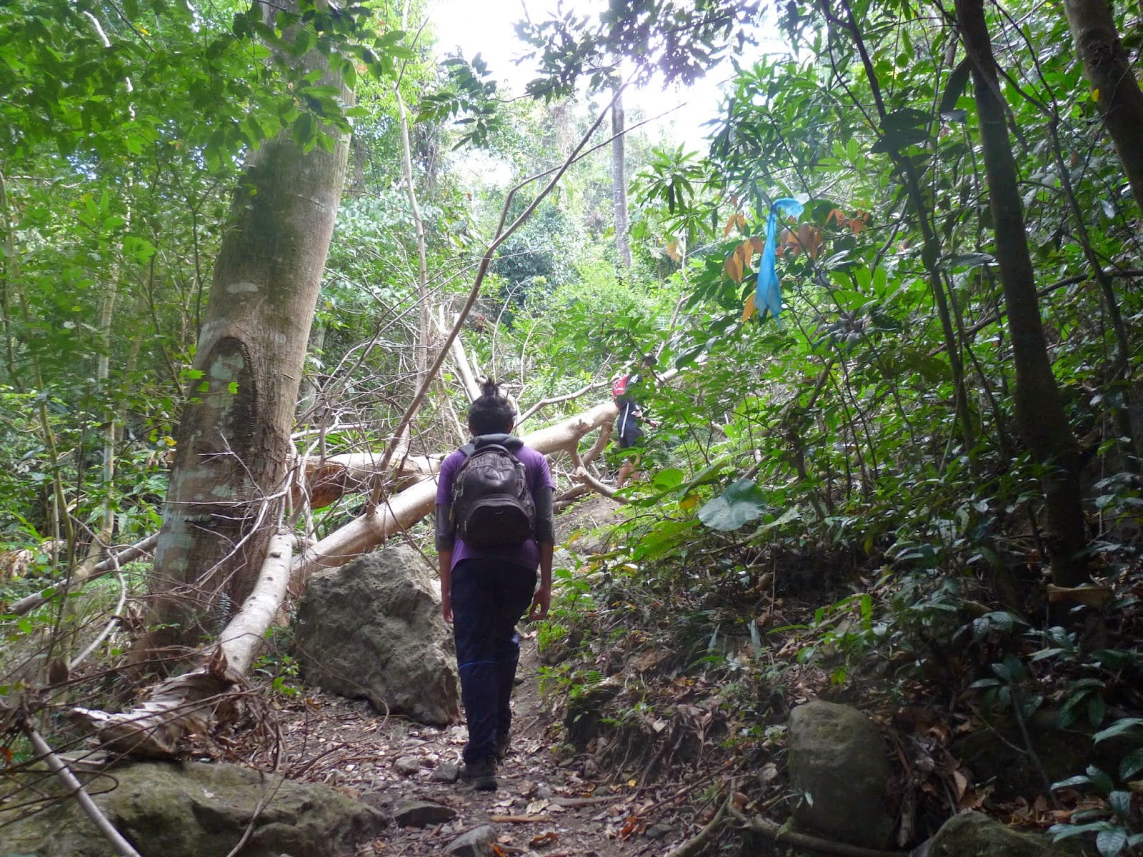
Around 1000H we reach the area where the new trail and old trail separates. The sign that you will choose the old trail or the new trail is the nipa hut. There is a trail at the left of the hut that will take you to the old trail while if you will choose the new trail, you will see the electrical post and just fellow them. We chose the old trail as our trail towards the north peak.
Nipa Hut, sign if you will take the old or new trail
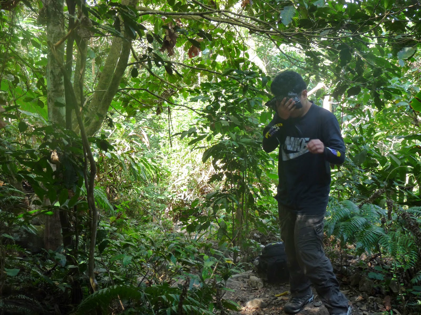
The old trail is nice compared to the new trail, since the old trail has a lots of  trees and we do not almost feel the heat of the sun, compared to the new trail that is open and some grasses are your only option to hide under the sun.
You will encounter some bouldering along the old trail. Big rocks where you can take a picture of the rock formation, large trees along the trail.


After hours of walking we reach the north peak around 1150H. You will notice that there is a camp in the north peak where army are staying, also find the Philippine flag at the north peak. We took a quick snack at the north peak and leave around 1210H.

North peak
We continue our trek towards the south peak, we will be passing the ridge of Arayat and will pass what they call the white rock where there is a 90 degree downhill. We arrive at the white rock around 1250H, but before we go down, we take the advantage to took some photos in the area. 

 
Going down from white rock
  After some picture taking at the white rock, we continue our trek to the south peak where there is a overlooking of the Pampanga River. After some hour of uphill to the south peak, we arrive around 1350H at the south peak and we immediately go to the overlooking (of course to take some photos).
  We leave around 1430H. Along the way we encounter some group of women going to the peak. We continue our traverse to Arayat, Pampanga and since it is downhill and we have a light pack we are quite fast going downhill, I thought we will be descending around 3hours but luckily we arrive at the end of the trail around 1630H. When we arrive at the end of the trail we are also lucky that we can enjoy a swimming at the Arayat National Park Swimming Pool. We take the advantage to go to swim until 1800H. After refreshing swimming at the park, we tidy up and eat at SM Pampanga before going home.


Itinerary:
0400 Meet up at Baliwag Transit in Cubao
0500 Leave for SM Pampanga
0600 ETA SM Pampanga
0730 ETD SM Pampanga to Magalang, Pampanga
0800 ETA Magalang, trike to jump off
0900 ETA jump-off (Station of the cross)/ register after Station 5
1000 ETA nipa hut, take the old trail
1150 ETA North peak, short break, resume trek
1250 ETA White Rock
1350 ETA South Peak, overlooking, lunch
1430 ETD South Peak to Arayat, Pampanga
1630 ETA Arayat National Park, swim, tidy up
1830 ETD Arayat NAtional Park to SM Pampanga
2000 ETA SM Pampanga/ dinner

Monday, March 3, 2014

BDM102 Ultramarathon

March 1-2, 2014
Bataan Death March 102k Ultramarathon

This will be my 3rd Ultramarathon for this year. This race is a tribute to the soldiers who suffer from the death march in 1942. This race will cover around 102k from the municipality of Mariveles, Bataan all the way to San Fernando Pampanga. This will be the 6th edition of the BDM102 which started in 2009. This batch had a total of 300 runners. 

When we arrive at Mariveles, Bataan we do a short stop over at the starting line which is the Bataan Death March Shrine where the kilometer marking of BDM starts. After visiting the starting line we visit Countryboy Tugade in his inn just a kilometer away from the starting line to take a nap.
Eventually when we reach the inn, the inn keeper is insisting us to pay a visiting fee of 100 per head. Thanks to the convincing powers of my friends so we will not going to pay that visiting fee (thinking that you just visit your friend in the inn and you have to pay 100 pesos?)
Around 1800H we left the inn after we took our rest and prepare ourselves to run. We took a souvenir photo before leaving the inn.


Team RUNIT (left-right): Tugade, Jade, Renz, Argie, Fer, Greg, Mark, Jazz
 We arrive at the starting line around 2000H and take some dinner at Jollibee. My support crew the Running Photographer team/ Team USB is still on the way to the starting line when we arrive so I have to carry my things until they arrive. My support crew arrive around 2130H. Thank you Sir Rj, Caryll and Rian for the support.

Reach km55: 0540H
The race starts about 2200H and the runners starts running to San Fernando, Pampanga I do my own pace, i don't care if some runners pass by me along the route. I remain in my easy jog-walk pace. In km3, there is a continuous uphill to km7, hence we have a 4km uphill, I have no choice but to walk in the 4km stretch route, I do some jog when the road is flat. I reach the 14km around 2350H and reach the km22 around 0120H. I continue my jog walk until I reach km50 around 0450H (almost 7hours after the gun start) with is the halfway and time to change clothes, eat breakfast and alike. 


 After eating some bread and resting my tired feet I continue my race. I reach Orani, Bataan around 0600H which is 6th Municipality from Mariveles and 5 more municipality before San Fernando. Since it is almost morning many of the runners are eating their breakfast, supported by their respective support crew. 


Runners taking their breakfast
Reach km 68: 0800H
 After km 68, it will be a long stretch of National Highway where trucks and bus are passing by, thanks that there is a service road where we can run without any hindrance. Also, at this rate, the sun is shining brightly and we will be much slower at this rate because of the heat. We have to cool our system using some showers and ice treatment. Also, I have no choice but to seek help with other support group along the route. I seek for some cold shower, cold drink and alike. I reach km83 around 1020H, at this point only 3 municipality are left, Lubao, Guagua and San Fernando. Around 1135H i arrive at km88 where I took my lunch, eating pork adobo with egg (yum yum yum). Sir Rj, Caryll and Rian brought me some rice for lunch, thank you for the support. After my lunch, I continue my run toward the finish line, only 14km left before the finish line and I am still doing my jog-walk pace. As I do my jog walk, I pass some runners as well as the km marking telling me that the finish line is near. From km90-91-92 upto km97. After km97, I know that only 5km left until finish line. My feet are tired and I want to finish this run, and to take a rest doing my jog-walk pace until I reach km100. I reach km100 around 1305H and only 2km left until finish line, I am so happy that I am very near the finish line. I reach the finish around 1320H in my clock but the actual time that I get is 15:13:32 finishing with the rank of 80 getting a silver medal from BDM102 (You will get a silver medal if your time is between 13-16hours).

Final Message:
BDM102: Firstly I would like to thank my family for the support, sa pagluto ng mama ko ng baon kong adobo at nilagang saba, sa support crew ko Running Photographers and Team USB (manong Rj, Rian, Caryll, Jayson) salamat sa support at sa pagkain after ng run at pagsabay sa akin pauwi, sa secondary support crew ko Team Run IT (Greg, Rence, Jade, Mark, kuya Argie, Countryboy, Fer) salamat sa pagsabay ninyo sa akin papuntang Mariveles at sa support, sa tertiary supports (support crew ng mga runners: Snail Runners Alabang, kuya Jojo of Ayala Triads, sir Ragde support crew, Blue and company support crew, mam Jackie and suport crew, support of 94&96, road eaters,vertex runners, team running buddies, runner 38 support crew, runner 158 support crew, anyday runners and sa ibang support crew maraming salamat, hindi ko siguro matatapos itong run na ito kung hindi sa tulong ninyo. sa mga kaibigan ko sa paniniwawalang matatapos ko ito, at higit sa lahat, kay God na hindi kami pinabayaan at binigyan kami ng lakas upang matapos itong takbong ito. Thank you po!